
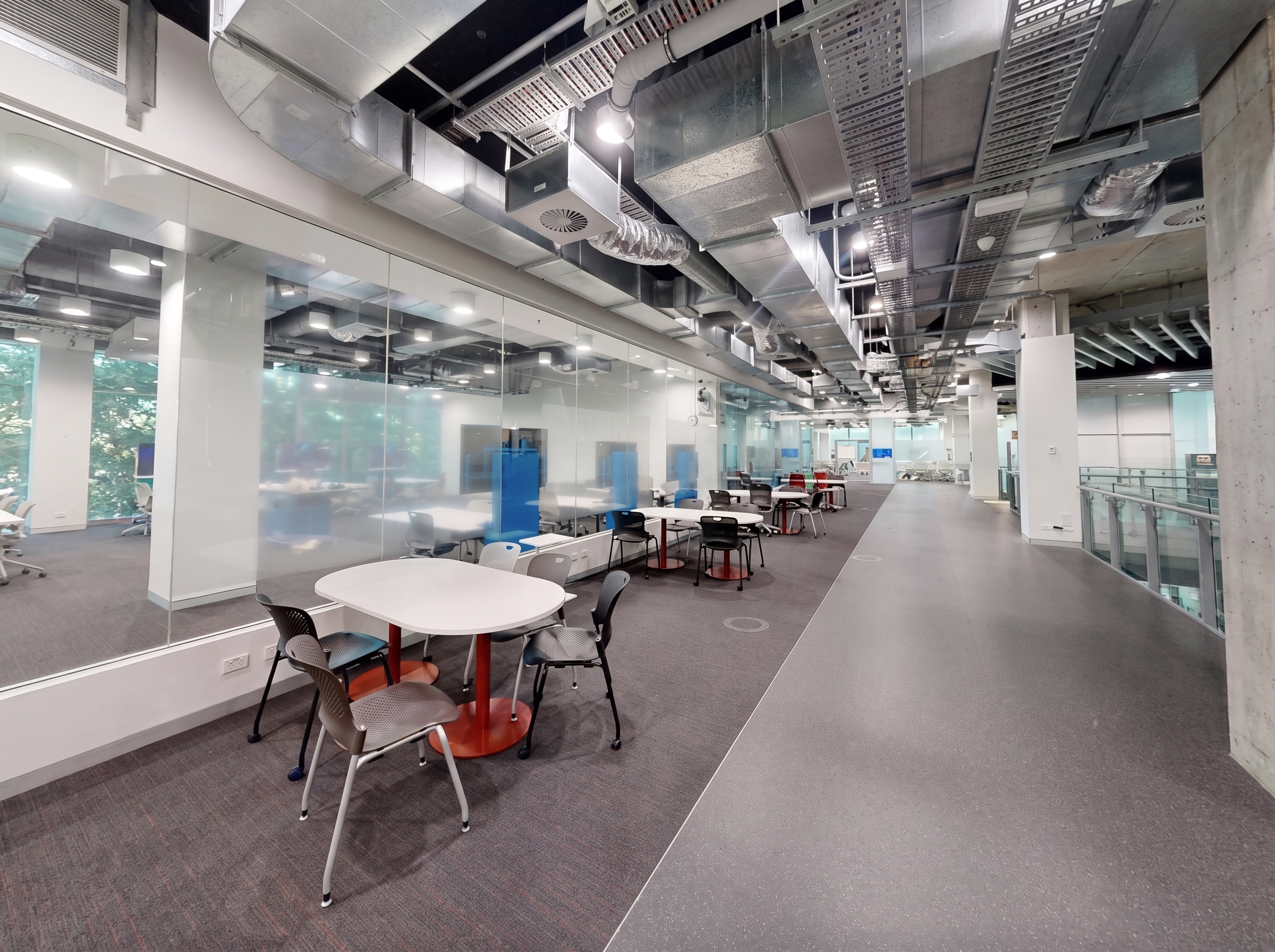

Our Digital Engineering team is building an interactive 3D model of the P-Block building. It stores and displays updated building information and eventually live information from the monitoring network.
The project began with P-Block’s original design drawings and a 3D model created in 2009. However, the building has changed considerably since then, particularly on Levels 4, 7 and 8, making the existing model unsuitable for ongoing use. The information on these changes will be used to map the modifications over time to capture the facility management processes that are part of the life of most buildings.
To create an accurate, up-to-date record of the building, the team is scanning P-Block floor by floor using photogrammetry and laser scanning. Each floor takes around a day to scan single floor requires more than 200 scans to capture it fully. This process is further challenged by the need to avoid scanning when other people are using the space, to ensure accuracy and privacy.
So far, approximately 30% of P-Block has been scanned, although some important service areas such as the fire and hydraulic pump rooms, have yet to be scanned. Once completed, these scans are compared against the original design drawings to identify where the building’s layout has changed over time.
This 3D model of the building will then provide the platform for displaying information relevant to the project. We aim to include each indoor air quality monitor and tag them with relevant data that will be displayed when that element is selected. For example, users will be able to view the air quality of the space and the data collected by each monitor! This will turn the 3D model into a live digital twin, allowing users to explore P-Block virtually and access building and air quality information without needing to be on site.
Work is continuing floor by floor, with the digital twin set to become an increasingly valuable tool for understanding and managing P-Block as the project progresses.
By Hamesh Patel, Robin Drogemuller & Alicia Josa-Cullere